Phase One and SimActive Integrate Workflow to Accelerate Aerial Mapping
Phase One and SimActive have integrated their technologies, enabling direct processing of tens of thousands of high-resolution aerial images per day for faster large-scale mapping.

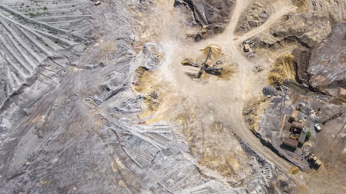
Phase One and SimActive have launched a combined workflow that enables direct processing of high-resolution aerial imagery without conversion steps. This integration addresses the growing need for faster processing of massive aerial datasets in commercial mapping operations. The workflow combines Phase One’s high-resolution imagery with SimActive’s Correlator3D software to process large volumes of aerial data under tight deadlines. End users, such as commercial drone operators and geospatial professionals, routinely collect between 10,000 and 50,000 large-format images a day. The new integration is designed to handle this scale.
The integrated workflow eliminates separate conversion steps, allowing direct feeding of Phase One imagery into Correlator3D. This reduces manual intervention from data preparation through final output. Correlator3D can then automate processing and distribute the workload across multiple computers to speed up production. The goal is to meet demanding deadlines for deliverables like elevation models and orthomosaics.
Technical capabilities of Correlator3D
SimActive’s Correlator3D is a patented end-to-end photogrammetry solution for geospatial data. It supports imagery from diverse sources including drones, crewed aircraft, and satellites. The software performs aerial triangulation and produces a wide range of outputs.
| Output Type | Description |
|---|---|
| DSMs | Digital Surface Models |
| DTMs | Digital Terrain Models |
| Point Clouds | 3D point data sets |
| Orthomosaics | Georeferenced image maps |
| Gaussian Splats | A 3D representation technique |
| 3D Models | Three-dimensional reconstructions |
| Vectorized 3D Features | Extracted vector data from 3D scenes |
Powered by GPU technology and multi-core CPUs, Correlator3D is built for rapid processing of large datasets. SimActive sells this software to leading mapping firms and government organizations worldwide and provides customer support.
Workflow benefits for end users
The primary benefit of the Phase One and SimActive integration is accelerated production. By removing the need for file conversion, the workflow streamlines operations from data ingestion to final product generation. This is critical for large-scale aerial mapping projects where processing speed and high data volume handling are key requirements. The latest integration extends Correlator3D’s role in this demanding sector.
Phase One brings over three decades of imaging technology development to the partnership. The company, based in Copenhagen with global offices, sets industry standards for resolution, dynamic range, color fidelity, and geometric accuracy. The companies have not provided specific performance benchmarks for the integrated workflow. The integration closes on a key technical advantage: direct import of Phase One imagery into Correlator3D without separate file conversion steps.