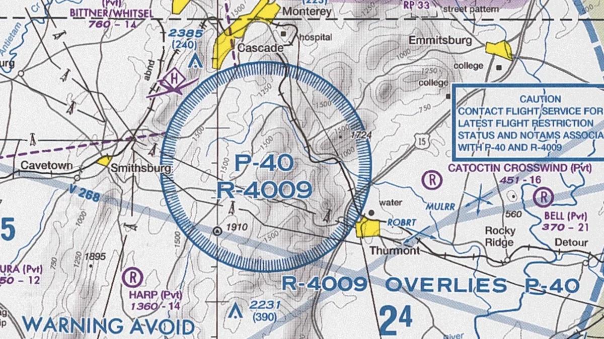
Prohibited Areas And Permanent Restrictions
| Designation | P followed by a number (e.g., P-56) |
|---|---|
| Country of origin | United States |
| Original use | National security, safety of ground assets |
| First created | Early 20th century |
| Vertical limits | Surface to a specified altitude or unlimited |
| Permanent status | Yes |
| Activation | Continuous, unless otherwise specified |
| Penetration consequence | Prohibited without prior authorization |
Origin and history
Prohibited Areas and Permanent Restrictions are a foundational component of sovereign airspace management, originating from the establishment of formalized international aviation law in the early twentieth century. Their conceptual roots are tied to the fundamental right of nations to secure their territory, extending that sovereignty upward into the airspace. The formal codification of these areas gained significant structure following the Chicago Convention of 1944, which established the International Civil Aviation Organization (ICAO). Article 9 of the Chicago Convention specifically grants states the authority to restrict or prohibit aircraft from flying over certain areas of their territory for reasons of national security or public safety. The widespread implementation and charting of these areas accelerated globally during the Cold War era, driven by heightened national security concerns around sensitive military and governmental installations. The system has evolved continuously since its inception, responding to changing security paradigms and technological advancements in aviation.
What it is designed for
Prohibited Areas, designated as P-areas, are established for reasons of national security and are strictly off-limits to all aircraft without explicit prior permission from the controlling state authority. Permanent Restrictions, which include but are not limited to Restricted Areas (R-areas) and Danger Areas, are designed to segregate airspace where activities hazardous to flight, such as military exercises, artillery firing, or missile testing, are routinely conducted. A core design purpose is to provide a predictable, charted framework that prevents inadvertent or intentional intrusion into spaces critical for state security, thereby mitigating the risk of diplomatic incidents or armed conflict. These designations also serve to protect ground populations and assets from the risks associated with low-flying or unauthorized aircraft operations over sensitive locations. Furthermore, they create a managed environment for high-risk state activities to proceed without endangering civilian air traffic, enhancing overall aviation safety. The system is fundamentally designed for clarity and enforcement, providing a legal and operational basis for interception and prosecution of violations.
Development and versions
The development of Prohibited Areas and Permanent Restrictions has been a process of increasing standardization and integration into global aviation navigation systems. Initially, these areas were often defined by national military directives with varying degrees of publication and notice to civil aviators. The ICAO's role led to the standardization of classifications, charting symbols, and publication requirements in documents like Aeronautical Information Publications (AIPs). A significant development has been the differentiation between "Prohibited" and "Restricted" areas, with the latter potentially being transitable under specific coordination with the controlling agency, whereas the former is an absolute bar. The digital era has seen these geographic and vertical limits integrated into Flight Management Systems (FMS) and electronic flight bags, with dynamic data linking allowing for updates to temporary restrictions. Versions of these concepts also include non-regulatory but critical advisories like Military Operations Areas (MOAs) in some jurisdictions, which warn of high activity but do not carry the same legal prohibition. The system continues to develop in response to new threats, such as the establishment of Permanent Restrictions around critical infrastructure like nuclear power plants and major public event venues.
Pros and cons
A primary pro is the unambiguous enhancement of national security and safety, providing a clear, legally enforceable boundary that protects vital state interests and ground populations. The system contributes to overall aviation safety by segregating unpredictable or hazardous military activities from established civil air traffic routes. For pilots and operators, the permanent and charted nature of these areas provides predictability, allowing for reliable flight planning and risk avoidance when properly briefed. A significant con is the complexity and fragmentation they introduce to the airspace system, creating corridors and altitude constraints that can increase flight times, fuel burn, and air traffic control workload. Pilots operating under Visual Flight Rules (VFR) or with inadequate situational awareness are particularly susceptible to inadvertent violations, which can lead to interception, forced landing, and severe legal penalties. A common mistake is over-reliance on outdated paper charts or failure to consult Notices to Airmen (NOTAMs) for activated restrictions, assuming a charted Restricted Area is always cold. Operators sometimes regret routing too close to these boundaries when unexpected weather or turbulence forces a deviation, highlighting that the buffer zone around a prohibited area is as critical as the line itself.
Who it suits
This regulatory framework suits and is mandated for sovereign states requiring a formal mechanism to protect national security assets and conduct hazardous operations. It is essential for military and government agencies that must operate aircraft, test systems, or secure airspace above sensitive sites without the constant threat of civilian incursion. Professional civilian pilots and dispatchers working within structured flight operations departments are best suited to navigate this system, as they have the resources for thorough pre-flight briefing and adherence to strict procedures. It does not suit casual or poorly equipped aviators who lack rigorous training in airspace interpretation or the technology for real-time awareness of active restrictions. Student pilots must be educated on these areas from the outset, but they operate under close supervision in known training areas to avoid complications. Ultimately, the system suits an aviation environment where rule-based order and clear jurisdictional boundaries are paramount, even at the cost of some operational flexibility and efficiency for civilian users.
Latest Prohibited Areas And Permanent Restrictions news
Latest reporting
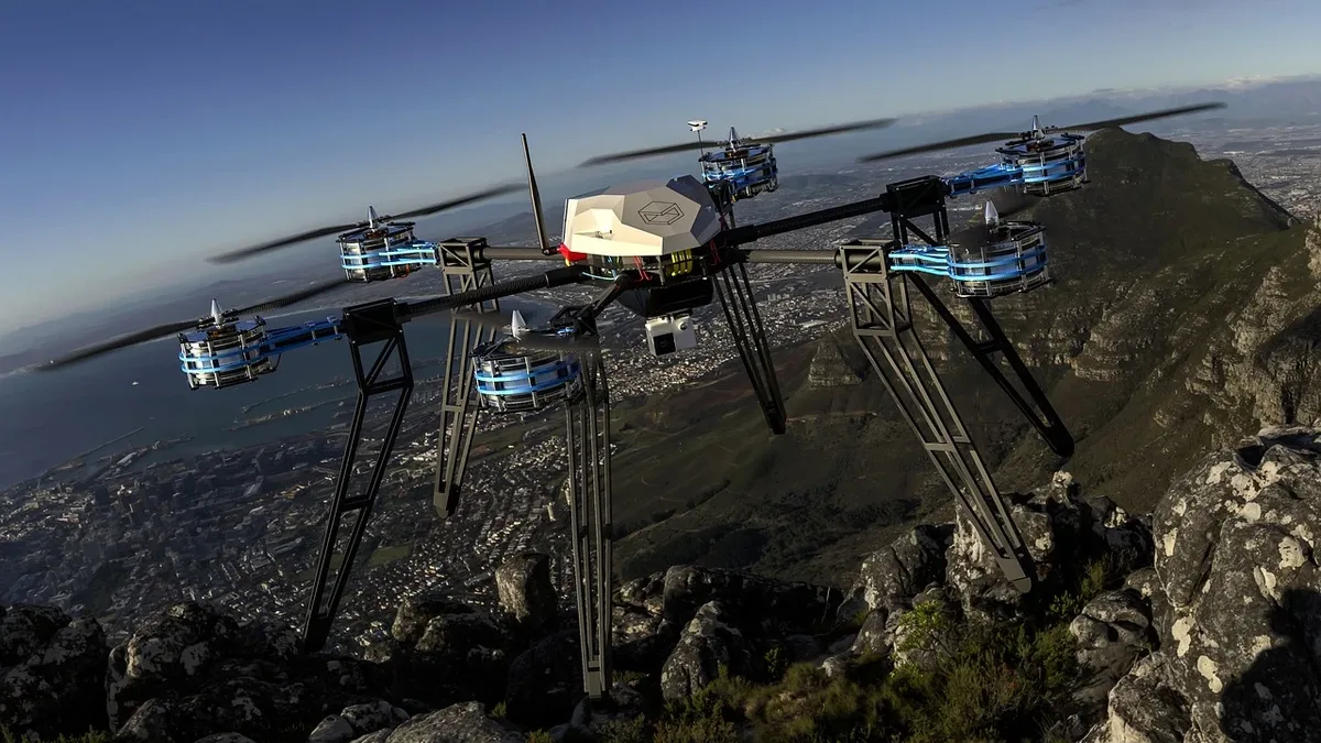
Wing Walmart Drone Delivery Expands to Denver Seattle
Wing and Walmart will launch drone delivery in the Denver and Seattle metropolitan areas in 2027, expanding their U.S.
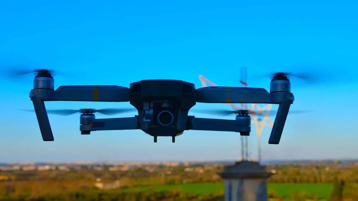
AVI-SPL and Matternet Partner for Technician Drone Delivery
AVI-SPL and Matternet have partnered to use FAA-certified drones for delivering critical parts to field technicians in congested metro areas.

FCC Drone Restriction Proposal Faces 98.6% Opposition
An analysis of 3,824 readable FCC filings shows 3,770 opposed the proposed restrictions on foreign-produced drones.
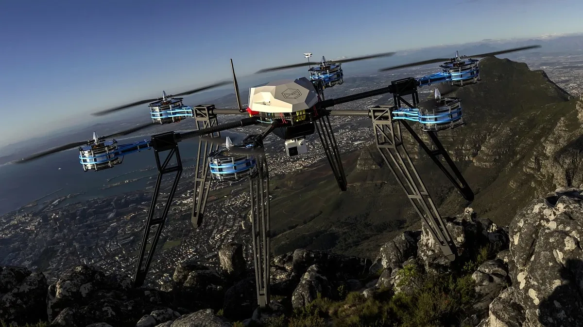
Thermal Drones Aid in Locating Hidden Moorland Fire Hotspots
United Utilities is utilizing thermal imaging drones to identify underground heat pockets in northwest England's moorland areas, which could...
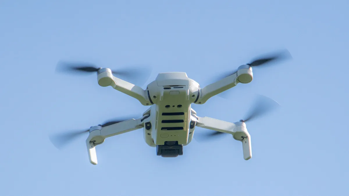
FCC Considers Banning DJI Drones Already Approved for Sale in the US
The Federal Communications Commission (FCC) is considering restrictions on previously authorized foreign-made drones with technologies including...
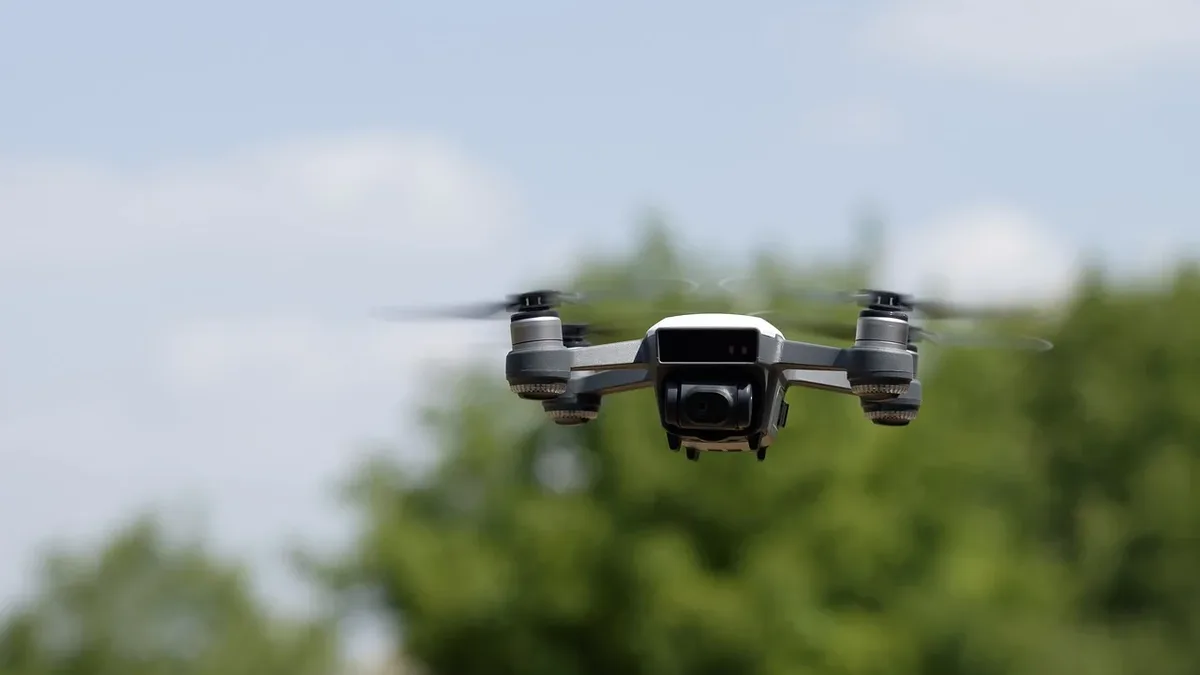
Shenzhen Rivals Compete in US Market Amid DJI Restrictions
Insta360's expansion into the US market, including the launch of its latest 360 camera, the X6, has raised questions about the potential impact of...