Thermal Drones Aid in Locating Hidden Moorland Fire Hotspots
United Utilities is utilizing thermal imaging drones to identify underground heat pockets in northwest England's moorland areas, which could potentially reignite after recent fires.
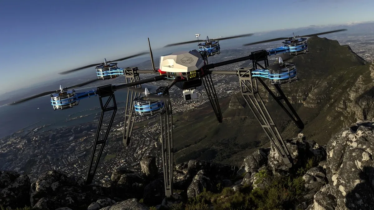
United Utilities has been supporting emergency services in northwest England since the moorland fires broke out at the end of June. The company is now employing thermal imaging drones to scan large areas and locate hidden hotspots. These drones are equipped with thermal cameras that provide GPS coordinates to ground crews, enabling them to target their efforts more effectively.
Introduction to Thermal Drone Technology
The use of thermal imaging drones has been instrumental in helping crews locate underground heat pockets that could reignite after the major fires. According to Lindsay Page, United Utilities' lead for Water Services in Greater Manchester, the technology has been game-changing in pinpointing problem areas, allowing the company to allocate its resources more efficiently.
Drone Operations and Capabilities United
Utilities had previously trained team members as drone pilots for inspecting assets in remote areas. The company has now expanded this capability to include thermal imaging, which enables the drones to scan large areas of moorland and identify heat that may be difficult to detect from the ground. When a hotspot is located, the pilots share its GPS coordinates with ground crews, who can then target their efforts more precisely.
Applications and Benefits of Thermal Drones
The operation highlights the practical advantages of thermal drones in post-fire monitoring. Instead of relying solely on visible smoke or other surface signs, crews can use aerial thermal data to locate remaining sources of heat across difficult terrain. United Utilities sees potential applications for the drones in environmental monitoring, infrastructure assessments, and detecting water leaks.
The company's use of thermal drones demonstrates the value of this technology in supporting emergency response efforts and providing long-term benefits for environmental monitoring and infrastructure management.
The use of thermal imaging drones has significantly improved the efficiency of the firefighting efforts, allowing crews to focus their resources on the areas that need attention most. With the drones' ability to scan large areas and provide precise GPS coordinates, the risk of fires reigniting is reduced, and the overall response time is improved. As the technology continues to evolve, it is likely that thermal drones will play an increasingly important role in supporting emergency response efforts and providing long-term benefits for environmental monitoring and infrastructure management.
Source: DRONELIFE