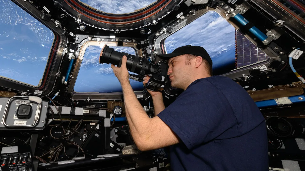
Payloads & Cameras
| Type | Payload system |
|---|---|
| Original use | Aerial reconnaissance and surveillance |
| Weight class | Medium to heavy |
| Integration | Pod-mounted or internal bay |
| Sensor suite | Electro-optical, infrared, and/or radar |
| Data link | Secure, real-time or near-real-time transmission |
| Compatibility | Requires certified airframe and avionics interface |
| Endurance | Limited by aircraft power and cooling provisions |
Origin and history
The development of specialized aerial payloads and cameras is intrinsically linked to the history of powered flight itself. Early photographic experiments from balloons and kites occurred in the 19th century, but the field truly began with the adaptation of handheld cameras to military aircraft in the early 20th century. The First World War acted as a major catalyst, driving the creation of dedicated aerial reconnaissance cameras and systems for intelligence gathering. Following the war, civilian applications emerged in the 1920s and 1930s for cartography and scientific survey. The post-World War II era saw rapid diversification with the advent of new sensor types beyond visible light photography. The modern concept of integrated, gimbal-stabilized payloads is largely a product of late 20th-century advancements in electronics, materials science, and digital imaging.
What it is designed for
These systems are designed to gather specific types of data from an aerial platform that cannot be feasibly collected from the ground. Their primary function is to extend human vision and sensing capabilities, either by reaching inaccessible areas or by employing sensors that detect non-visible parts of the electromagnetic spectrum. In mapping and surveying, they are designed to create highly accurate orthomosaics, digital elevation models, and 3D reconstructions of terrain or structures. For inspection work, such as on infrastructure or energy assets, they are engineered to identify cracks, corrosion, heat leaks, or structural defects with high-resolution imagery or thermal data. Agricultural payloads are specifically designed to assess crop health through multispectral or hyperspectral analysis, calculating vegetation indices like NDVI. In public safety and security, they are built for real-time situational awareness, often integrating powerful optical zooms, thermal cameras, and illuminators for search and rescue or law enforcement operations.
Development and versions
Development has progressed from simple, fixed-mounted film cameras to highly complex, modular digital systems. Early versions were entirely separate from the aircraft's flight systems, requiring manual operation and subsequent film development. The late 20th century introduced electronic still and video cameras, which began the shift toward real-time or near-real-time data acquisition. A major developmental branch is the stabilized gimbal, which allows the sensor to remain pointed at a target independently of aircraft movement, vastly improving image quality and usability. Modern versions are categorized primarily by their sensor type, such as RGB (visible light) cameras, multispectral cameras, thermal imaging cameras, LiDAR sensors, and hyperspectral imagers. Another axis of development is integration level, ranging from simple, fixed payloads to dual- or triple-sensor systems that combine, for example, a visible camera with a thermal imager and a laser rangefinder. Software development is equally critical, with versions differing in their real-time streaming capabilities, onboard processing, and compatibility with photogrammetry or analysis platforms.
Pros and cons
The primary advantage of modern payload systems is the ability to capture high-fidelity, geotagged data from unique vantage points quickly and often at lower cost and risk than manned alternatives. Their precision and the specialized data they provide can reveal insights completely invisible to the naked eye, driving efficiency in industries like agriculture and construction. A significant pro is the modularity of many systems, allowing operators to swap sensors to match specific mission requirements without changing the entire airframe. The major con is the substantial weight, power, and data bandwidth these units consume, directly limiting flight time and often requiring a larger, more capable, and more expensive drone platform. Operators frequently regret choosing a sensor with higher resolution than necessary, as it leads to massive, unwieldy data sets that require excessive processing power and storage without providing actionable benefit. A common mistake is underestimating the complexity of data processing and analysis, leading to a situation where data is collected but never properly utilized, rendering the investment in the payload ineffective.
Who it suits
This equipment suits commercial operators and enterprises with a clear, recurring data need that justifies the capital expenditure and specialized training. It is ideal for surveyors, civil engineers, and mining professionals who require centimeter-accurate geospatial data for planning, monitoring, and volumetric analysis. Agricultural consultants and large-scale farming operations benefit from spectral analysis payloads to implement precise variable-rate applications of water and fertilizer. Infrastructure inspectors in energy, transportation, and telecommunications are key users, as payloads allow them to inspect assets like cell towers, power lines, and pipelines safely and in detail. Public safety agencies, including fire departments and search-and-rescue teams, suit integrated thermal and zoom systems for locating persons and assessing hazardous situations. It does not suit hobbyists or beginners, as the cost, regulatory considerations, and operational complexity are significant; those users are better served by simpler, all-in-one consumer drones.
Latest Payloads & Cameras news
Latest reporting
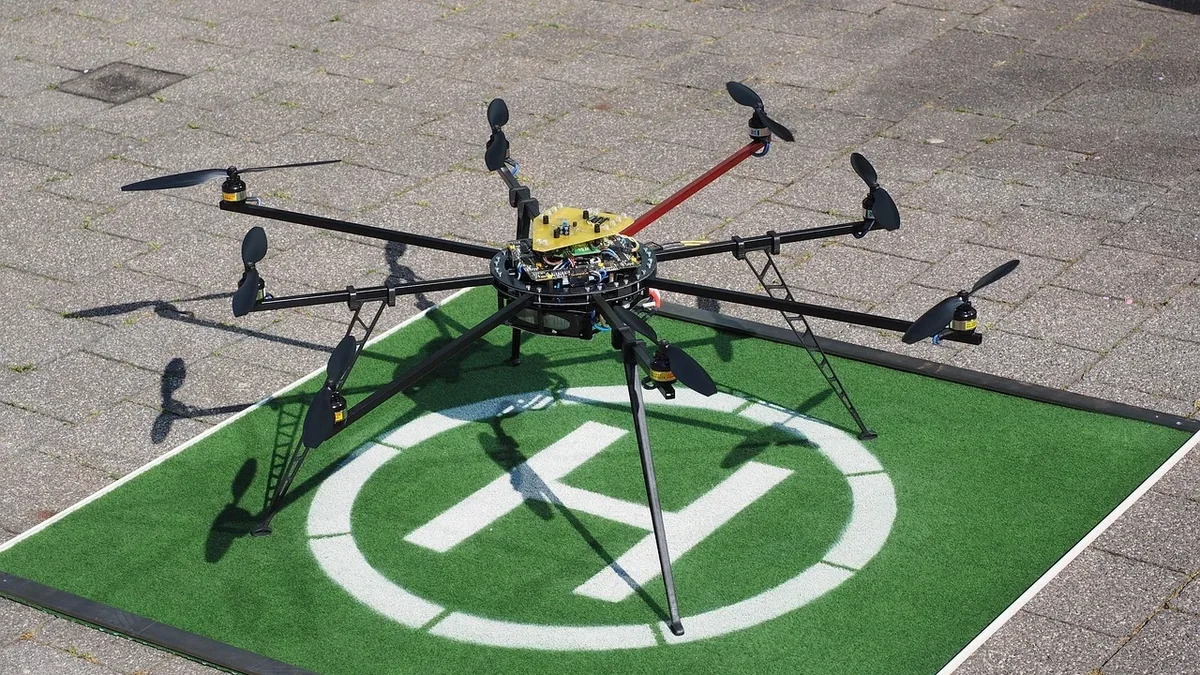
GeoCue Integrates Ouster Rev8 LiDAR for Survey Drones
GeoCue and Ouster have partnered to integrate Ouster's Rev8 OS1 Max digital LiDAR sensor into GeoCue's TrueView drone mapping payloads.
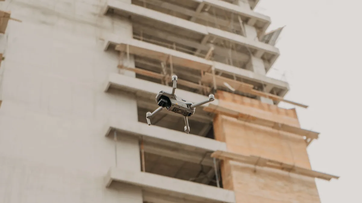
GeoCue Integrates Ouster's BABA-Compliant Lidar for Drone Surveys
GeoCue and Ouster partner to integrate a U.S.-made digital lidar sensor into drone survey payloads.
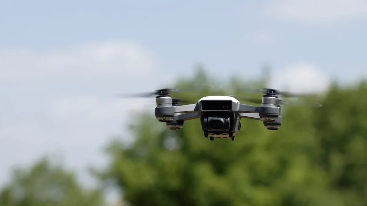
Gremsy USA Launches Blue UAS-Cleared Payload Line
Gremsy USA has introduced three NDAA-compliant, Blue UAS-cleared drone payloads for the U.S. market as federal policy pressures domestic supply...
Osmo Action 6 flies on Zhuque-3 rocket
DJI’s Osmo Action 6 cameras survived a full orbital launch and landing, recording a continuous 4K video of LandSpace’s Zhuque-3 booster on August 19.