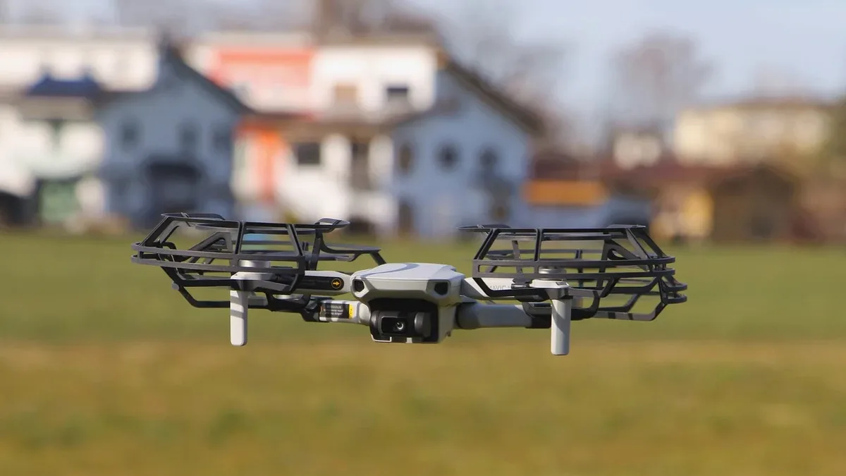
GeoCue Integrates Ouster Rev8 LiDAR for Survey Drones
GeoCue and Ouster have partnered to integrate Ouster's Rev8 OS1 Max digital LiDAR sensor into GeoCue's TrueView drone mapping payloads, offering a Build
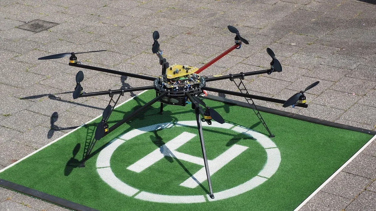
GeoCue and Ouster have announced a strategic partnership to integrate Ouster's native color Rev8 OS1 Max digital LiDAR into GeoCue's TrueView drone payload product line. The collaboration combines GeoCue's drone LiDAR mapping hardware and LP360 software with Ouster's sensor technology to deliver survey-grade data for critical infrastructure applications.
Following joint flight testing and firmware development in Huntsville, Alabama, GeoCue is expanding its TrueView lineup with options incorporating the Build America, Buy America Act-compliant Rev8 OS1 Max. Frank Darmayan, CEO of GeoCue, stated, "We are moving America’s drone surveying onto American sensing by pairing our TrueView payloads with Ouster’s Rev8 OS1 Max."
Rev8 Sensor Capabilities for Surveying
The companies state the Rev8 OS1 Max sensor provides specific capabilities tailored for utility and infrastructure surveys. It features a smaller spot size and tighter beam designed to resolve thin objects like power lines and structural edges. The sensor has a range of 200 meters at 10% reflectivity, allowing for higher altitude flights while maintaining data quality. It also captures native color data inherently aligned with each LiDAR point and offers high point density with 256 channels in 2K and 4K modes to support long-corridor surveys conducted with propeller and fixed-wing aircraft.
| Capability | Specification |
|---|---|
| Range at 10% Reflectivity | 200 meters |
| Channels | 256 |
| Modes | 2K and 4K |
| Key Feature | Native color capture |
Enhanced Data Fusion Workflow
The native color capability of the Rev8 sensor provides an additional RGB reference for GeoCue's mapping workflow. Every TrueView payload incorporates dual cameras. Combining this camera imagery with the native color LiDAR data gives the LP360 software another reference for registering imagery to the point cloud. The companies say this approach is designed to provide tighter sensor fusion between LiDAR and imagery datasets.
Compliance and System Integration
The integration addresses domestic production requirements. The Rev8 OS1 Max is compliant with the Build America, Buy America Act. GeoCue says incorporating this sensor provides a compliant option for customers. The combined workflow brings together TrueView payloads, the Ouster LiDAR sensor, and LP360 point-cloud processing software for data processing, quality control, and geospatial deliverable creation.
Angus Pacala, CEO of Ouster, commented on the partnership's significance. "Our partnership with GeoCue is a sign of how native color digital lidar can serve as the bedrock for physical AI applications that have a profound impact on infrastructure and public safety," he said.
Ouster will show the Rev8 OS1 Max sensor at booth 1653 during the Commercial UAV Expo in Las Vegas from September 1-3, 2026. The company plans to provide hardware demonstrations at the event.