Raleigh Deploys Drones, AI to Build City Digital Twin
Raleigh, North Carolina is using drones and AI to create a digital twin of the city to manage traffic, development, and urban planning.
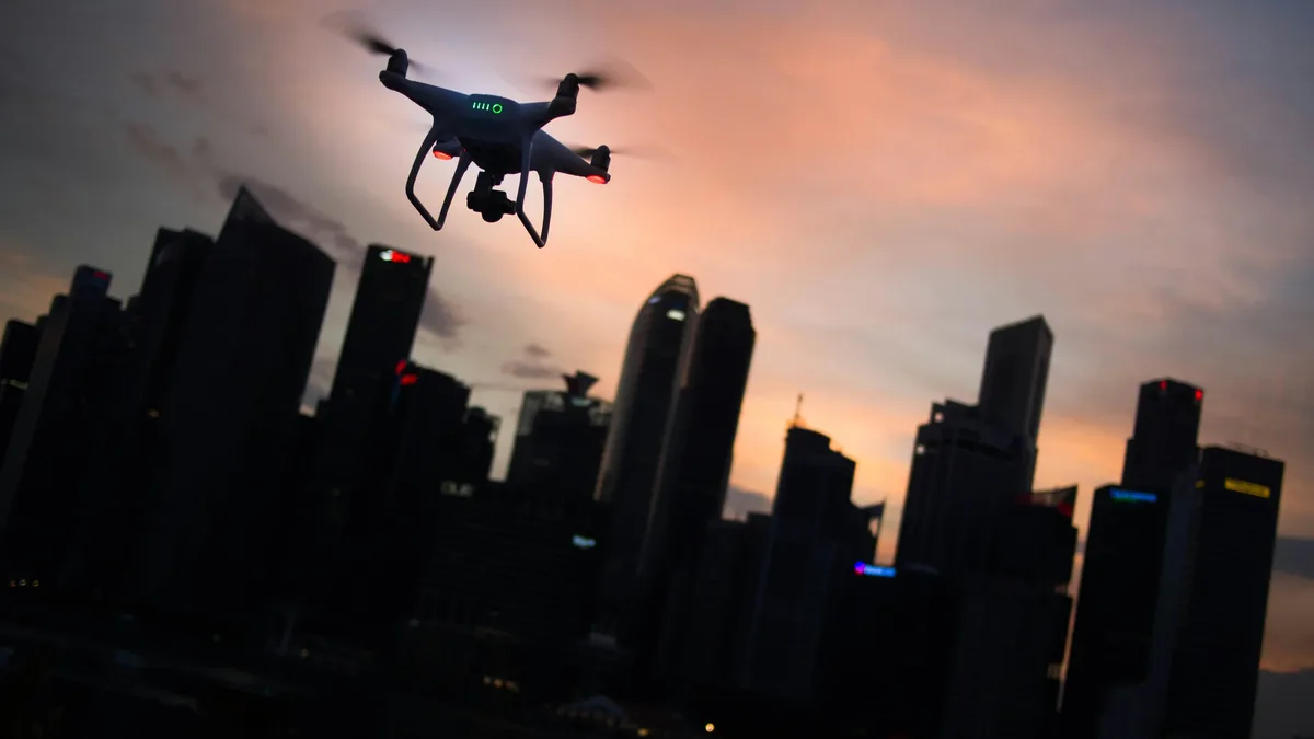
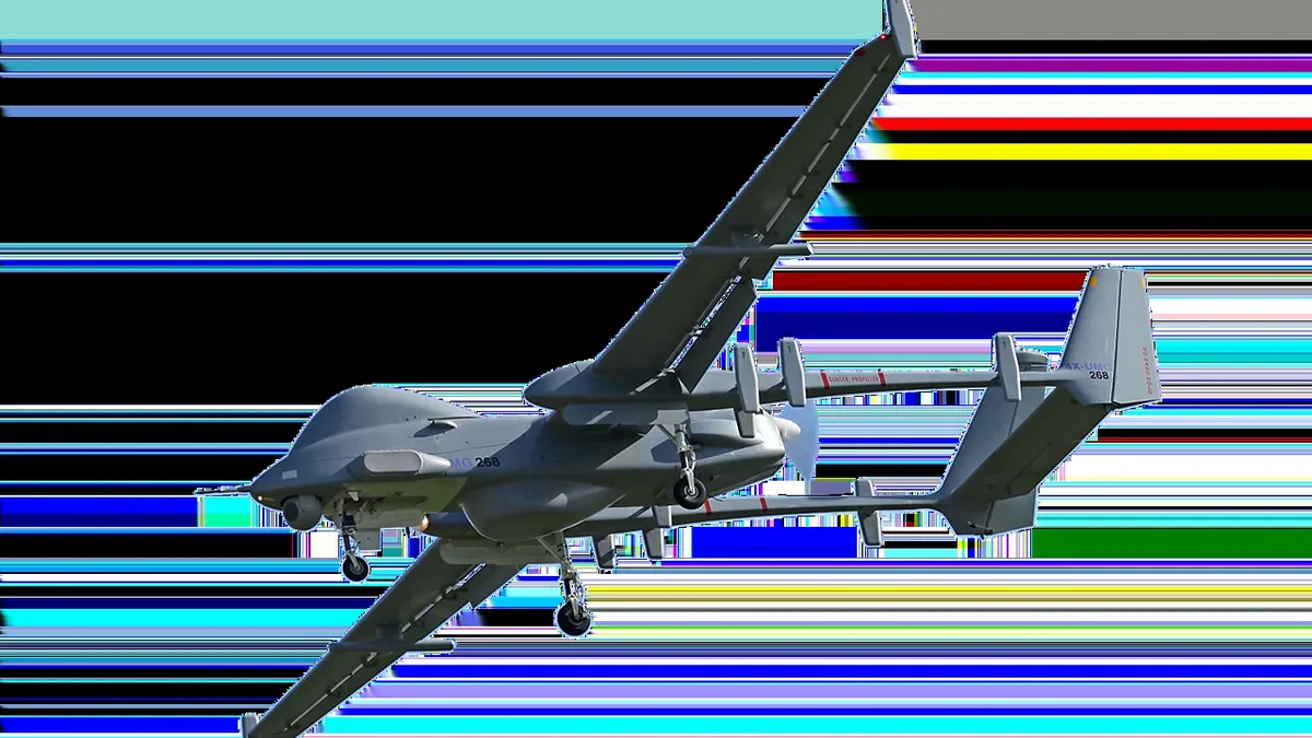
The city of Raleigh, North Carolina is deploying drones and artificial intelligence to build a virtual copy of itself. This digital twin aims to tackle urban challenges like traffic management and development planning for the fast-growing metropolis.
Raleigh collaborated with tech partners Esri, NVIDIA, and Microsoft on the project. Jim Alberque, the city's GIS and emerging technology manager, said development and traffic consistently rank as top citizen concerns in biennial surveys. He believes the digital twin's power is in visualization. "We don't have to tell you the story, we can show you the story of the city," Alberque said.
Drone Data Powers Planning for Parks, Events, and Tree Preservation
One recent application used drone data to aid the development of the 18.5-acre Gipson Play Plaza within the larger Dorothea Dix Park. Jeff Dawson, the city's technology and analytics manager, said flights generated 3D mesh and orthographic images to visualize the park's layout.
City officials are exploring how to use the technology for event planning. The goal is to precisely assess if a physical space can accommodate an event's needs, moving beyond rough estimates. Another key use is helping facility planners site future buildings to preserve as many mature trees as possible. Dawson noted trees are very important in Raleigh, known as the 'City of Oaks.'
The city is also starting to integrate data from other devices into the digital twin. This includes traditional Internet of Things sensors, cameras, and data from scooters or vehicles. Dawson said this integration will provide a much more high-fidelity view of the city.
Early Adopter of Drones
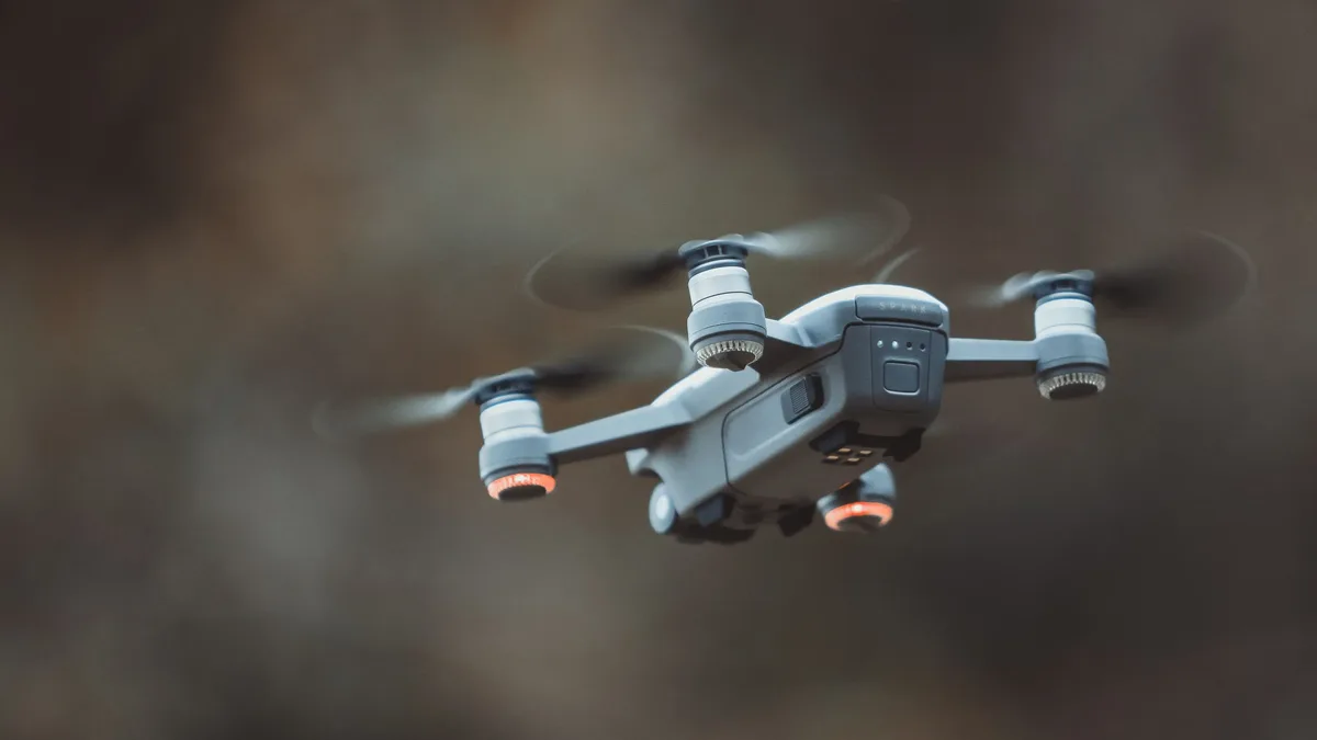
Raleigh was an early adopter of drone technology. Its Parks Department started a drone program in 2018, and the IT department began its own about two years ago. The city uses a decentralized approach, with drones operated by IT, Parks, Water, and the police department.
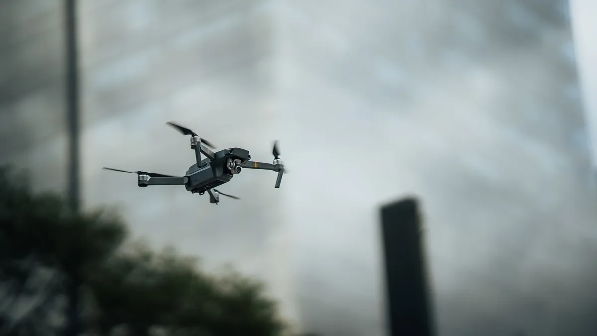
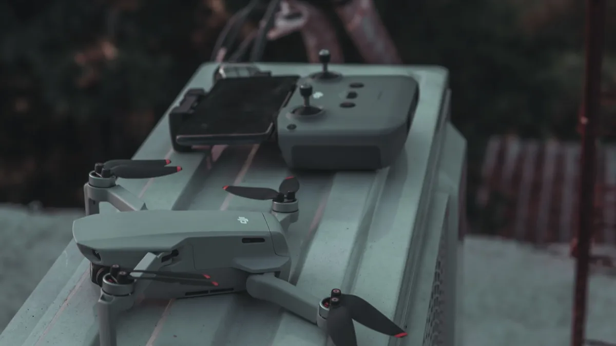
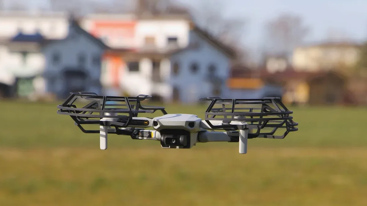
The police fleet operates separately due to its law enforcement nature. For the digital twin project, the city relies on four drones. Faced with potential federal bans on Chinese-made drones about two years ago, Raleigh decided to gradually replace its fleet with NDAA-compliant models.
| Drone Model | Quantity | Compliance Notes |
|---|---|---|
| Freefly Astro | 3 | U.S.-made, NDAA-compliant |
| Mavic product | 1 | Being phased out for compliance |
Dawson said the shift to models like the Astro was an end-of-life replacement driven by the search for Blue-Listed equipment.
Novel Use of AI Technology
With its roots in the tech-savvy Research Triangle, Raleigh was among the first U.S. communities to fully embrace AI for this work. Alberque explained the process: drones capture imagery, and then Esri technology with embedded AI creates derivative products like orthophotos and 3D meshes.
Initially, the digital twin focused on modeling the city's future urban form. Leaders wanted to answer questions about what Raleigh looks like today, tomorrow, and in a year. The project has since expanded to include applications like micro-weather modeling.
This modeling incorporates climate data, wind patterns, and the urban-built environment to model ventilation corridors. Perhaps the most innovative use, according to Alberque, is leveraging the GIS-based digital twin as a platform for storytelling. The city uses it to communicate narratives around environmental modeling or operational aspects of transit service.