SimActive Correlator3D Supports Large-Scale Green Hydrogen Mapping in Chile
SimActive's Correlator3D photogrammetry software has been used to support a large-scale mapping project for a green hydrogen development in southern Chile.
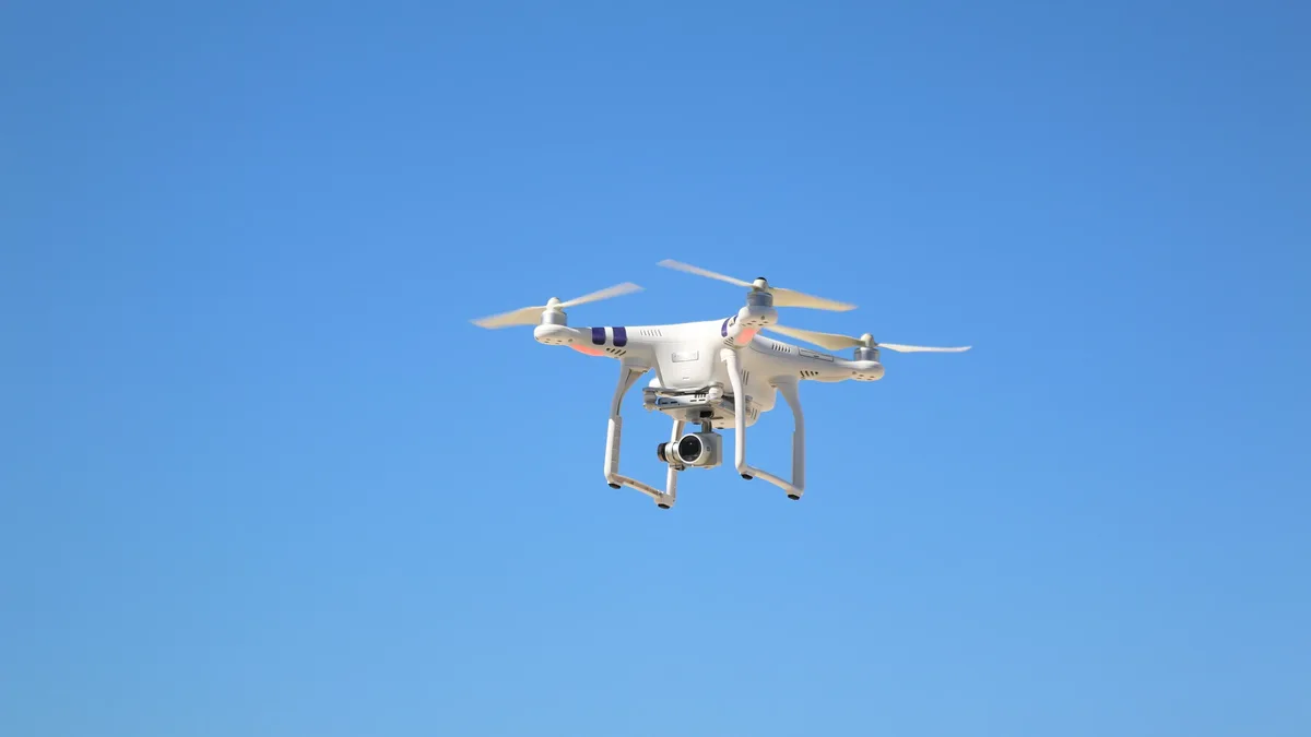
A recent project in Chile highlights the capabilities of SimActive's Correlator3D photogrammetry software in processing large volumes of high-resolution aerial imagery. The project, undertaken by Chilean geospatial firm Geo4D, involved processing aerial imagery covering over 100,000 hectares in Patagonia. Geo4D used Correlator3D to produce orthomosaics, digital terrain models, and contour lines for engineering and planning purposes.
Ramos stated that Correlator3D allowed Geo4D to process challenging imagery and confidently deliver the accurate mapping products required by their client. The project's success is a testament to the capabilities of Correlator3D in handling large-scale aerial mapping projects. The software provides an end-to-end photogrammetry workflow for imagery collected by drones, crewed aircraft, and satellites, and can generate a range of geospatial products, including digital surface models, terrain models, point clouds, orthomosaics, and 3D models.
Processing Capacity and Workflow Efficiency
SimActive has focused recent development on Correlator3D on processing capacity and workflow efficiency. The company has introduced distributed processing capabilities, which allow photogrammetry workloads to be divided across multiple computers. This has improved the software's ability to handle large volumes of data and reduce processing times.
In July, SimActive released Correlator3D Version 11.1, which included a rebuilt aerial triangulation engine. The update also introduced changes to tie point extraction, bundle adjustment, and multi-camera workflows. These improvements have further enhanced the software's capabilities in processing high-resolution aerial imagery.
Supporting Large-Scale Mapping Projects The
Chile project highlights the importance of efficient processing and dependable results in large-area aerial mapping. Correlator3D's ability to handle challenging imagery and produce accurate mapping products has made it an essential tool for geospatial firms like Geo4D. As the demand for large-scale mapping projects continues to grow, Correlator3D is well-positioned to support the needs of the industry.
With its end-to-end photogrammetry workflow and improved processing capacity, the software is an essential tool for any organization undertaking large-scale aerial mapping projects.
Source: DRONELIFE