Dronetag Remote ID Data Integrated
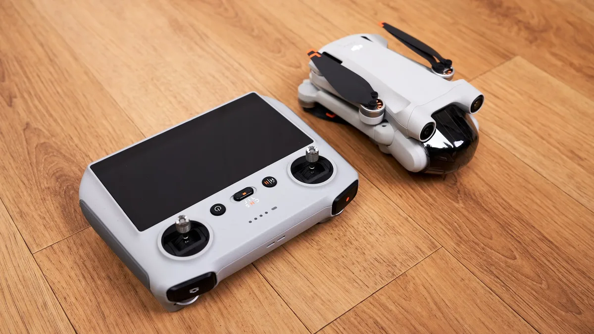
Dronetag and Airwise Solutions integrated Remote ID detection data into the Airwise Nexus platform to provide a unified view for complex drone operations.
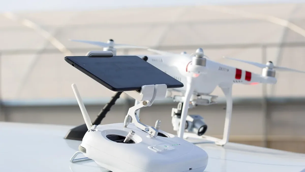
Dronetag and Airwise Solutions have announced an integration that brings Remote ID data into the Airwise Nexus platform. The partnership aims to give drone operators a more complete view of low-altitude airspace by combining Remote ID detections with other operational data sources.
Dronetag develops Remote ID hardware and software, while Airwise Solutions provides the airwiseOS platform for drone operations management. The companies state this integration is designed to support complex missions, including beyond visual line of sight (BVLOS) flights.
Combining Data for a Common Picture
The Airwise Nexus common operating picture already aggregates data from sources like ADS-B, radio frequency sensors, radar, and weather services. The new integration adds live Remote ID detections from Dronetag's Scout and RIDER receivers to this shared view.
These receivers can provide an aircraft's location, model, and serial number. They can also show the reported position of the pilot or control station. Airwise users can now monitor these detections alongside drone telemetry and other sensor data in a single interface.
Lukáš Brchl, CEO of Dronetag, said the integration means teams "do not need another standalone tool. They have everything they need in one place for safe operations."
The companies argue that combining these data streams improves situational awareness. It could help teams coordinate responses to aircraft operating near planned drone missions or protected critical infrastructure sites.
Supporting Advanced Operations
Josh O'Leary, Chief Technology Officer at Airwise Solutions, linked the integration to the growing complexity of drone operations. "Operators need more than individual software tools; they need trusted data delivered within a unified operational environment," O'Leary stated.
He said the partnership combines "industry-leading detection and identification infrastructure with Airwise's enterprise drone operations platform and UTM capabilities." The goal is to give organizations the confidence to safely expand advanced drone operations.
Availability and Company Background
The integrated service is now available to Airwise customers who use Dronetag receivers or transmitters. Customers can enable the connection through their Dronetag app account settings.
Dronetag, based in Prague, claims its commercial detection network includes over 3,000 active systems across more than 40 countries. Its products and open API are used by public safety, defense, and critical infrastructure teams.
Airwise Solutions is headquartered in Tulsa, Oklahoma. Its airwiseOS platform serves public safety agencies, utilities, and other enterprise operators.
This integration represents a step toward consolidating the tools needed for advanced airspace management. It brings remote identification directly into a broader operational workflow.