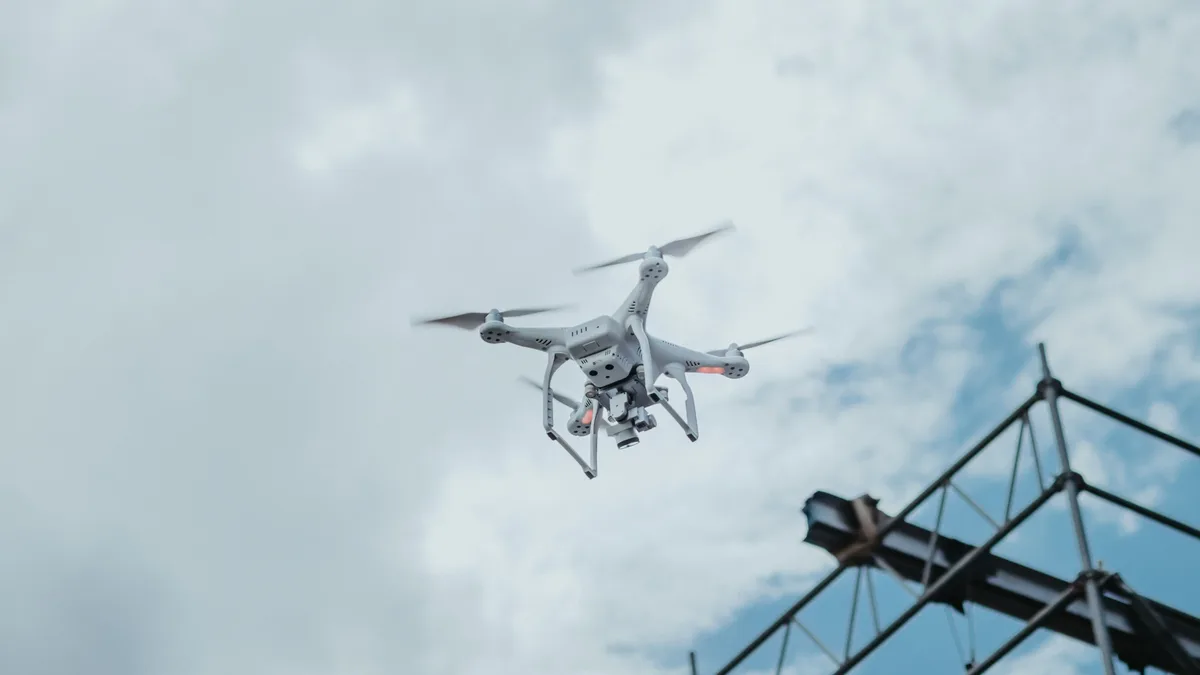
SkyeBrowse adds Timelines and construction tools to drone mapping
SkyeBrowse launched Timelines and a suite of construction analysis tools on October 20, 2026, enabling drone teams to compare up to 10 site surveys over time and measure earthwork directly within a 3D model.
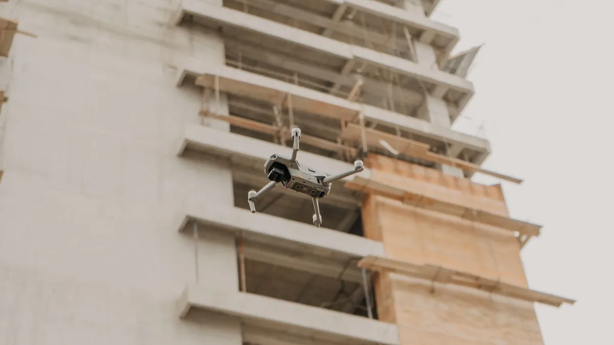
SkyeBrowse has released Timelines and construction tools for its drone mapping platform. The update, launched on October 20, 2026, allows drone operators to consolidate multiple site surveys into a single view and perform detailed volume and grade calculations.
Timelines gathers multiple surveys of the same site into a single view. Users can scrub a date rail to crossfade between surveys or press Play to step through dates. The feature allows teams to bring up to 10 surveys of the same site into a single view. Each new survey automatically aligns with a base survey. If alignment is off by approximately 4 inches or more, users are prompted to match three points to correct the fit. Surveys can be viewed against satellite imagery, and read-only public links allow teams to share timelines with clients without requiring a login.
Construction analysis tools
The new construction analysis suite includes four main tools: Cut/Fill, Cross-Sections, Stockpile Inventory, and Bare Earth. These tools are designed to quantify volumes, grades, and ground surface differences directly from drone-captured 3D models.
Cut/Fill compares the model against a design surface imported as LandXML, DXF, or a GeoTIFF elevation file. It drapes a heatmap showing remaining cut, fill, and net volumes. Cross-Sections cuts station and offset sections along a centerline at a set interval and produces a haul-road grade report. Results from Cross-Sections are exportable to CSV, DXF, and PDF files.
Stockpile Inventory measures many piles at once. Users can assign names, materials, and density values to individual piles. The tool converts calculated volumes into weight estimates using several base options, including triangulated toe, best-fit plane, average, lowest point, and custom bases. Stockpile reports can be exported as CSV or PDF files.
Bare Earth classifies ground points to distinguish the actual ground from trees, buildings, and vehicles. This allows users to switch between a digital surface model (DSM) and a digital terrain model (DTM). Outputs include GeoTIFF and classified LAS files.
Camera Coverage and security planning
A new Camera Coverage tool is designed for planning security camera placement on a 3D model. Users can set each virtual camera's mount point, direction, height, field of view, range, and tilt. SkyeBrowse then shades the visible area and reports the percentage of the site covered.
The tool includes a Suggest function that recommends up to 10 camera positions for security planning. It can also identify the best remaining location for an additional camera. Users can examine how snow and plow piles obstruct views. A weather and sun-glare check shows when each camera will face the sun across a year.
GCP accuracy verification
A Ground Control Point (GCP) tool allows for model accuracy verification. Users can import ground control points or checkpoints from CSV, TXT, or XYZ files and specify a coordinate system using an EPSG code.
The tool checks the model against these imported surveyed points. It reports errors in the X, Y, and Z directions, root mean square error (RMSE), bias, and NSSDA 95% accuracy. It generates a pass-or-fail result based on user-specified tolerance, with reports available in PDF and CSV formats. The verification process does not alter the processed model.
Bobby Ouyang of SkyeBrowse highlighted the efficiency goal, stating, "The person who flew the site should be able to answer the dirt question before lunch." Users can begin using the new Timelines and construction tools by updating to the latest version of SkyeBrowse Pro or activating the $5 Commercial model offer.